Directions

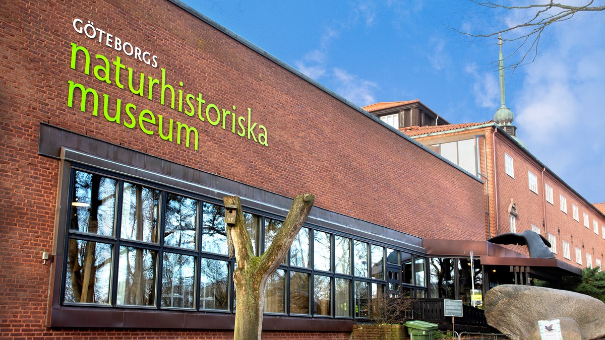
We are situated just above Linnéplatsen to the west of the city centre, on the edge of the Slottsskogen park area. Read more about how to find us here.
Address:
Museivägen 10, Slottsskogen Östra
413 11 Göteborg
GPS coordinates:
WGS 84 (lat, long): 57° 41′ 24″ N, 11° 56′ 59″ E
WGS 84 decimal (lat, long): 57.6900°, 11.9500°
By public transport:
The easiest way to get here is by bus or tramway. The nearest stop is at Linnéplatsen. There are many buses and trams that stop here. From Linnéplatsen, take the stairs up into Slottskogen. You can see the museum building from the bus stop.
Click here to search for your departure using the Västtrafik’s planner
By car
Slottsskogen is a car-free environment. There is a car park at the museum for disabled drivers. The nearest car park for other visitors is on Vegagatan. There is additional parking by Villa Belparc in Slottsskogen; the entrances are from Margeretebersgatan and Slottskogspromenaden.
Current traffic information
The construction of the West Link has started. The work will last for at least seven years in different stages and affect the entire central Gothenburg. To make it easier for you who travel by car or bicycle, the traffic office has produced an information page. See how it affects the area around the museum here >> On the page you can read about the latest updates regarding car and bicycle traffic.


